
Forest topographic map
Interactive map
Click on the map to display elevation.
About this map
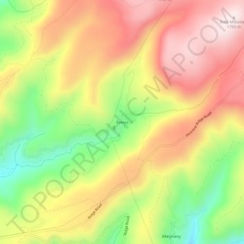
Name: Forest topographic map, elevation, terrain.
Location: Forest, Sierra County, California, 95910, United States (39.46963 -120.87394 39.50963 -120.83394)
Average elevation: 1,508 m
Minimum elevation: 1,217 m
Maximum elevation: 1,756 m