
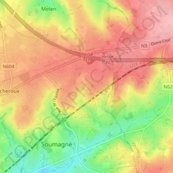
Wergifosse topographic map
Interactive map
Click on the map to display elevation.
About this map
Name: Wergifosse topographic map, elevation, terrain.
Location: Wergifosse, Soumagne, Liège, Wallonie, 4630, Belgique (50.60805 5.73085 50.64805 5.77085)
Average elevation: 252 m
Minimum elevation: 183 m
Maximum elevation: 302 m