
Cửa Lò topographic map
Interactive map
Click on the map to display elevation.
About this map
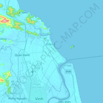
Name: Cửa Lò topographic map, elevation, terrain.
Location: Cửa Lò, Nghe An province, Vietnam (18.74558 105.69144 18.83250 105.96626)
Average elevation: 9 m
Minimum elevation: -3 m
Maximum elevation: 417 m