
Frenda topographic map
Interactive map
Click on the map to display elevation.
About this map
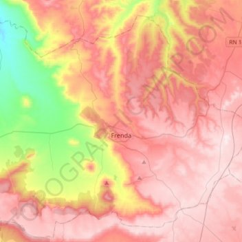
Name: Frenda topographic map, elevation, terrain.
Location: Frenda, Frenda District, Tiaret, Algeria (34.97447 0.92074 35.18456 1.21365)
Average elevation: 1,029 m
Minimum elevation: 661 m
Maximum elevation: 1,274 m