
Borba topographic map
Interactive map
Click on the map to display elevation.
About this map
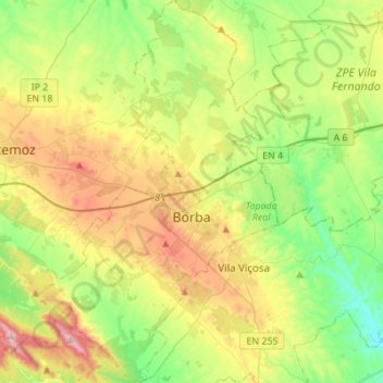
Name: Borba topographic map, elevation, terrain.
Location: Borba, Évora, Portugal (38.71301 -7.56422 38.92683 -7.39167)
Average elevation: 347 m
Minimum elevation: 169 m
Maximum elevation: 651 m