
Avelar topographic map
Interactive map
Click on the map to display elevation.
About this map
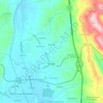
Name: Avelar topographic map, elevation, terrain.
Location: Avelar, Ansião, Leiria, Portugal (39.90823 -8.37370 39.94878 -8.33479)
Average elevation: 310 m
Minimum elevation: 234 m
Maximum elevation: 548 m