
Xã Long Hậu topographic map
Interactive map
Click on the map to display elevation.
About this map
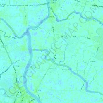
Name: Xã Long Hậu topographic map, elevation, terrain.
Location: Xã Long Hậu, Can Giuoc District, Long An province, Vietnam (10.60592 106.67325 10.65657 106.73324)
Average elevation: 3 m
Minimum elevation: -2 m
Maximum elevation: 8 m