
Saint Joseph topographic map
Interactive map
Click on the map to display elevation.
About this map
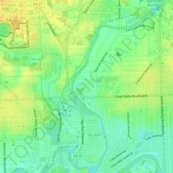
Name: Saint Joseph topographic map, elevation, terrain.
Average elevation: 238 m
Minimum elevation: 224 m
Maximum elevation: 252 m
Other topographic maps
Click on a map to view its topography, its elevation and its terrain.
Fort Wayne
États-Unis d'Amérique > Indiana > Comté d'Allen > Fort Wayne
Fort Wayne, Comté d'Allen, Indiana, 46802, États-Unis d'Amérique
Average elevation: 248 m