
Préizerdaul topographic map
Interactive map
Click on the map to display elevation.
About this map
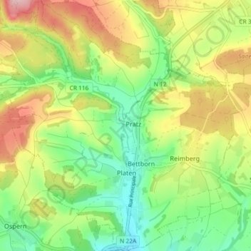
Name: Préizerdaul topographic map, elevation, terrain.
Location: Préizerdaul, Canton Redange, Luxemburg (49.77857 5.90079 49.82552 5.96915)
Average elevation: 334 m
Minimum elevation: 254 m
Maximum elevation: 445 m