`Asgar Khani topographic map
Interactive map
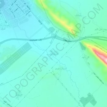
Click on the map to display elevation.
About this map
Name: `Asgar Khani topographic map, elevation, terrain.
Average elevation: 607 m
Minimum elevation: 547 m
Maximum elevation: 925 m

Click on the map to display elevation.
Name: `Asgar Khani topographic map, elevation, terrain.
Average elevation: 607 m
Minimum elevation: 547 m
Maximum elevation: 925 m