Geolocate

Walmara topographic map

Click on the map to display elevation.

About this map

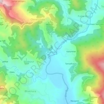
Name: Walmara topographic map, elevation, terrain.

Location: Walmara, Syalde, Almora District, Uttarakhand, 263661, India (29.83397 79.18319 29.87397 79.22319)

Average elevation: 1,043 m

Minimum elevation: 870 m

Maximum elevation: 1,465 m

Gear up for your next adventure:

🧤Waterproof Overmitts - Extreme weather protection for hikers and mountaineers
🧢Hiking Hats - Sun and weather protection for outdoor walks
🦶Anti-Blister Balms - Protect your feet before long topographic expeditions
🔪Outdoor Multi-Tools - Versatile tools for gear repairs and food prep in the wild
🔋Solar Chargers - Eco-friendly charging solutions for outdoor use

As an Amazon Associate, this site earns from qualifying purchases at no extra cost to you.