
Umapur topographic map
Interactive map
Click on the map to display elevation.
About this map
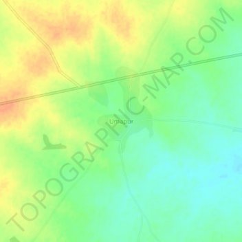
Name: Umapur topographic map, elevation, terrain.
Location: Umapur, Georai, Beed District, Maharashtra, India (19.27340 75.57648 19.31340 75.61648)
Average elevation: 464 m
Minimum elevation: 446 m
Maximum elevation: 482 m