
真駒内本町1 topographic map
Interactive map
Click on the map to display elevation.
About this map
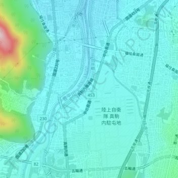
Name: 真駒内本町1 topographic map, elevation, terrain.
Location: 真駒内本町1, 真駒内本町, 南区, 札幌市, 石狩振興局, 北海道, 日本 (43.00815 141.35010 43.01281 141.35512)
Average elevation: 86 m
Minimum elevation: 39 m
Maximum elevation: 355 m
Other topographic maps
Click on a map to view its topography, its elevation and its terrain.