Geolocate

Ionia topographic map

Interactive map

Click on the map to display elevation.

About this map

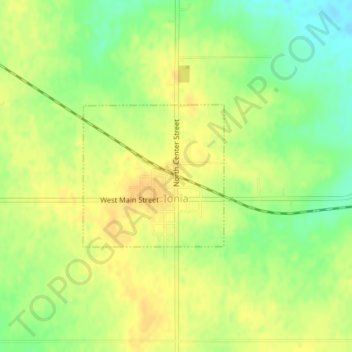
Name: Ionia topographic map, elevation, terrain.

Location: Ionia, Chickasaw County, Iowa, United States (43.03041 -92.46578 43.04135 -92.45096)

Average elevation: 345 m

Minimum elevation: 327 m

Maximum elevation: 356 m

Other topographic maps

Click on a map to view its topography, its elevation and its terrain.

Lawler

United States > Iowa > Chickasaw County

Average elevation: 338 m

Bassett

United States > Iowa > Chickasaw County

Average elevation: 320 m

Alta Vista

United States > Iowa > Chickasaw County

Average elevation: 360 m