
Rough Firth topographic map
Click on the map to display elevation.
About this map
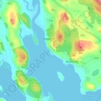
Name: Rough Firth topographic map, elevation, terrain.
Average elevation: 29 m
Minimum elevation: -1 m
Maximum elevation: 124 m
Dumfries and Galloway trails, hiking, mountain biking, running and outdoor activities