
Tirla topographic map
Interactive map
Click on the map to display elevation.
About this map
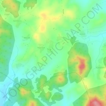
Name: Tirla topographic map, elevation, terrain.
Location: Tirla, Erki(Tamar II), Khunti District, Jharkhand, India (22.86311 85.36025 22.88244 85.38862)
Average elevation: 603 m
Minimum elevation: 556 m
Maximum elevation: 680 m