
Kanya topographic map
Interactive map
Click on the map to display elevation.
About this map
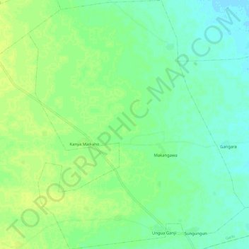
Name: Kanya topographic map, elevation, terrain.
Location: Kanya, Garki, Jigawa State, Nigeria (12.31780 8.89010 12.42930 8.98958)
Average elevation: 392 m
Minimum elevation: 385 m
Maximum elevation: 399 m