
Lac Mourier topographic map
Interactive map
Click on the map to display elevation.
About this map
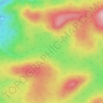
Name: Lac Mourier topographic map, elevation, terrain.
Average elevation: 478 m
Minimum elevation: 336 m
Maximum elevation: 598 m
Other topographic maps
Click on a map to view its topography, its elevation and its terrain.
Ruisseau des Dix-Huit Milles
Canada > Québec > Mont-Alexandre
Ruisseau des Dix-Huit Milles, Mont-Alexandre, Le Rocher-Percé, Gaspésie–Îles-de-la-Madeleine, Québec, Canada
Average elevation: 284 m
Rivière Malbaie
Canada > Québec > Mont-Alexandre
Rivière Malbaie, Mont-Alexandre, Le Rocher-Percé, Gaspésie–Îles-de-la-Madeleine, Québec, Canada
Average elevation: 194 m