
Le Val Héroult topographic map
Interactive map
Click on the map to display elevation.
About this map
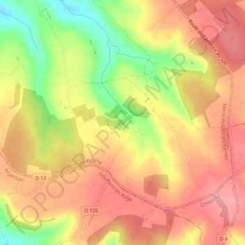
Name: Le Val Héroult topographic map, elevation, terrain.
Average elevation: 261 m
Minimum elevation: 193 m
Maximum elevation: 302 m
Other topographic maps
Click on a map to view its topography, its elevation and its terrain.
La Couture
France > Normandie > Orne > Ménil-Hubert-en-Exmes
La Couture, Ménil-Hubert-en-Exmes, Mortagne-au-Perche, Orne, Normandie, France métropolitaine, 61230, France
Average elevation: 228 m