
Vila topographic map
Interactive map
Click on the map to display elevation.
About this map
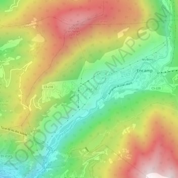
Name: Vila topographic map, elevation, terrain.
Location: Vila, Encamp, AD200, Andorra (42.51185 1.54662 42.55185 1.58662)
Average elevation: 1,648 m
Minimum elevation: 1,061 m
Maximum elevation: 2,359 m