
Kadama topographic map
Interactive map
Click on the map to display elevation.
About this map
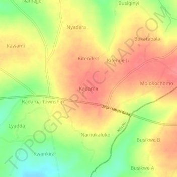
Name: Kadama topographic map, elevation, terrain.
Location: Kadama, Kibuku, Eastern Region, Uganda (0.99907 33.86917 1.03907 33.90917)
Average elevation: 1,111 m
Minimum elevation: 1,069 m
Maximum elevation: 1,139 m