
Soledad topographic map
Interactive map
Click on the map to display elevation.
About this map
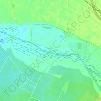
Name: Soledad topographic map, elevation, terrain.
Location: Soledad, Monterey County, California, USA (36.41292 -121.35811 36.42690 -121.33563)
Average elevation: 51 m
Minimum elevation: 44 m
Maximum elevation: 59 m