
Zango topographic map
Interactive map
Click on the map to display elevation.
About this map
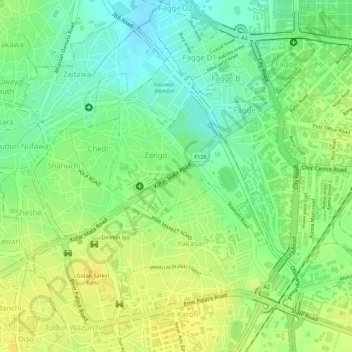
Name: Zango topographic map, elevation, terrain.
Location: Zango, Kano Municipal, Cano, Nigéria (11.99331 8.51831 12.00640 8.53251)
Average elevation: 479 m
Minimum elevation: 464 m
Maximum elevation: 490 m