Geolocate

aldeesa topographic map

Click on the map to display elevation.

About this map

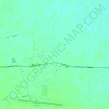
Name: aldeesa topographic map, elevation, terrain.

Location: aldeesa, Wadi al Hayaa, Libya (26.56445 12.80830 26.61773 12.86004)

Average elevation: 465 m

Minimum elevation: 460 m

Maximum elevation: 470 m

Gear up for your next adventure:

🧰Survival Kits - Emergency tools for remote environments
🧤Thermal Touchscreen Gloves - Stay warm while operating your GPS or smartphone camera
🎒Hiking Daypacks (20L) - Compact backpacks for day trips and technical mountain ascents
📕Outdoor Navigation Books - Learn traditional and modern navigation techniques
🥾Walking Shoes - Lightweight walking shoes for countryside and coastal paths

As an Amazon Associate, this site earns from qualifying purchases at no extra cost to you.