
Los Arenales topographic map
Interactive map
Click on the map to display elevation.
About this map
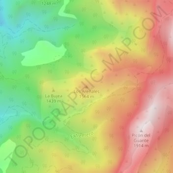
Name: Los Arenales topographic map, elevation, terrain.
Location: Los Arenales, Quesada, Jaén, Andalucía, España (37.80996 -3.00532 37.81006 -3.00522)
Average elevation: 1,394 m
Minimum elevation: 881 m
Maximum elevation: 1,903 m