
Punta Negra topographic map
Interactive map
Click on the map to display elevation.
About this map
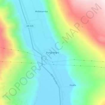
Name: Punta Negra topographic map, elevation, terrain.
Location: Punta Negra, Ocoña, Provincia de Camaná, Arequipa, Perú (-16.40809 -73.13672 -16.36809 -73.09672)
Average elevation: 280 m
Minimum elevation: 25 m
Maximum elevation: 813 m