
Rochelle topographic map
Interactive map
Click on the map to display elevation.
About this map
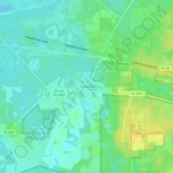
Name: Rochelle topographic map, elevation, terrain.
Location: Rochelle, Alachua County, Floride, États-Unis (29.57664 -82.23760 29.61664 -82.19760)
Average elevation: 28 m
Minimum elevation: 19 m
Maximum elevation: 43 m