
Bura topographic map
Interactive map
Click on the map to display elevation.
About this map
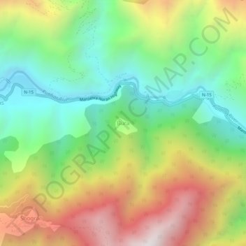
Name: Bura topographic map, elevation, terrain.
Location: Bura, Mānsehra District, Khyber Pakhtunkhwa, Pakistan (34.63639 73.46212 34.67639 73.50212)
Average elevation: 1,867 m
Minimum elevation: 1,269 m
Maximum elevation: 2,731 m