
Mica topographic map
Interactive map
Click on the map to display elevation.
About this map
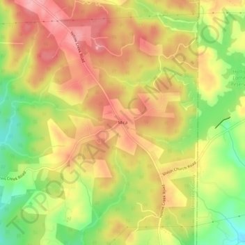
Name: Mica topographic map, elevation, terrain.
Location: Mica, Cherokee County, Georgia, United States of America (34.33787 -84.29270 34.37787 -84.25270)
Average elevation: 377 m
Minimum elevation: 303 m
Maximum elevation: 431 m