
Sơn Tây topographic map
Interactive map
Click on the map to display elevation.
About this map
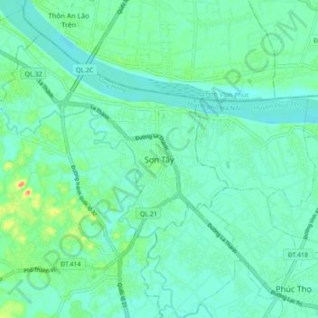
Name: Sơn Tây topographic map, elevation, terrain.
Location: Sơn Tây, Hanói, Sơn Tây, Vietnam (21.10094 105.46603 21.18094 105.54603)
Average elevation: 13 m
Minimum elevation: 2 m
Maximum elevation: 51 m