
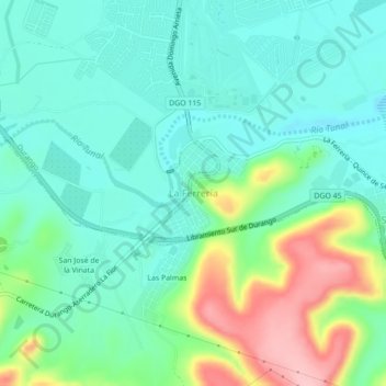
La Ferrería topographic map
Interactive map
Click on the map to display elevation.
About this map
Name: La Ferrería topographic map, elevation, terrain.
Location: La Ferrería, Municipio de Durango, Durango, 34302, México (23.93699 -104.68286 23.97699 -104.64286)
Average elevation: 1,911 m
Minimum elevation: 1,866 m
Maximum elevation: 2,026 m