
Rabac topographic map
Interactive map
Click on the map to display elevation.
About this map
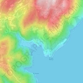
Name: Rabac topographic map, elevation, terrain.
Location: Rabac, Grad Labin, Gespanschaft Istrien, 52221, Kroatien (45.06049 14.13305 45.10049 14.17305)
Average elevation: 153 m
Minimum elevation: -2 m
Maximum elevation: 392 m