Geolocate

Bothey topographic map

Click on the map to display elevation.

About this map
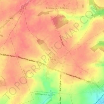
Name: Bothey topographic map, elevation, terrain.

Location: Bothey, Gembloux, Namur, Wallonia, Belgium (50.51230 4.63401 50.53537 4.67892)

Average elevation: 158 m

Minimum elevation: 109 m

Maximum elevation: 176 m

Gear up for your next adventure:

📚UK Hiking Guidebooks - Detailed route descriptions for the Lake District, Peaks, and Highlands
🔪Outdoor Multi-Tools - Versatile tools for gear repairs and food prep in the wild
👖Hiking Trousers - Durable trousers designed for rough terrain
🍲Portable Camping Stoves - Fast-boiling stoves for hot meals on remote topographic survey trips
🚲Cycling GPS Computers - Track elevation and topographic routes on two wheels

As an Amazon Associate, this site earns from qualifying purchases at no extra cost to you.