
Buraa topographic map
Interactive map
Click on the map to display elevation.
About this map
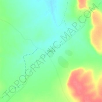
Name: Buraa topographic map, elevation, terrain.
Location: Buraa, Garbaharey District, Gedo, Jubaland, Somalia (3.14962 42.12083 3.18962 42.16083)
Average elevation: 311 m
Minimum elevation: 288 m
Maximum elevation: 349 m