
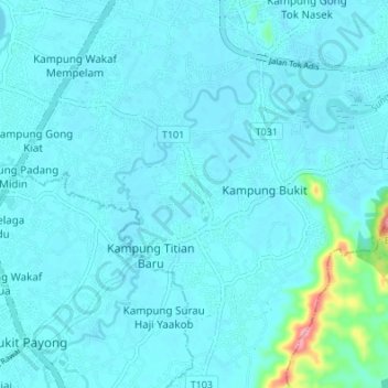
Sungai Ibai topographic map
Interactive map
Click on the map to display elevation.
About this map
Name: Sungai Ibai topographic map, elevation, terrain.
Location: Sungai Ibai, Kuala Terengganu, Terengganu, 20180, Malaysia (5.23249 103.10731 5.28614 103.17512)
Average elevation: 12 m
Minimum elevation: 0 m
Maximum elevation: 135 m
Other topographic maps
Click on a map to view its topography, its elevation and its terrain.