
Achabou topographic map
Interactive map
Click on the map to display elevation.
About this map
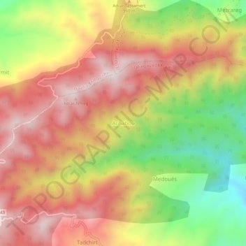
Name: Achabou topographic map, elevation, terrain.
Average elevation: 907 m
Minimum elevation: 520 m
Maximum elevation: 1,208 m
Other topographic maps
Click on a map to view its topography, its elevation and its terrain.
Chouf
Algérie > Bordj Bou Arreridj > Daïra Djaafra > Tafreg
Chouf, Tafreg, Daïra Djaafra, Bordj Bou Arreridj, Algérie
Average elevation: 980 m