
花莲 topographic map
Interactive map
Click on the map to display elevation.
About this map
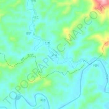
Name: 花莲 topographic map, elevation, terrain.
Location: 花莲, 藤县, 梧州市, 广西壮族自治区, 543000, 中国 (23.78736 110.49462 23.82736 110.53462)
Average elevation: 101 m
Minimum elevation: 54 m
Maximum elevation: 266 m
Other topographic maps
Click on a map to view its topography, its elevation and its terrain.