
Hartl topographic map
Interactive map
Click on the map to display elevation.
About this map
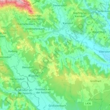
Name: Hartl topographic map, elevation, terrain.
Location: Hartl, Bezirk Hartberg-Fürstenfeld, Steiermark, Österreich (47.14883 15.82999 47.24254 15.97764)
Average elevation: 379 m
Minimum elevation: 299 m
Maximum elevation: 632 m