
Daia topographic map
Interactive map
Click on the map to display elevation.
About this map
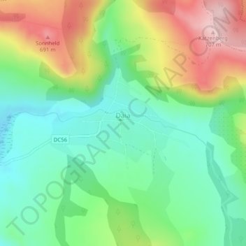
Name: Daia topographic map, elevation, terrain.
Location: Daia, Mureș, 547041, Roménia (46.14007 24.88994 46.15232 24.91257)
Average elevation: 558 m
Minimum elevation: 470 m
Maximum elevation: 706 m