
Mutla Ridge topographic map
Interactive map
Click on the map to display elevation.
About this map
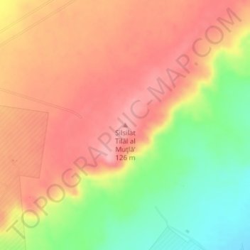
Name: Mutla Ridge topographic map, elevation, terrain.
Location: Mutla Ridge, Jahra, 00032, Kuwait (29.40892 47.66525 29.40902 47.66535)
Average elevation: 92 m
Minimum elevation: 19 m
Maximum elevation: 141 m
Other topographic maps
Click on a map to view its topography, its elevation and its terrain.