Geolocate

Eucla topographic map

Click on the map to display elevation.

About this map

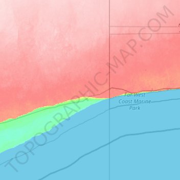
Name: Eucla topographic map, elevation, terrain.

Location: Eucla, Shire Of Dundas, Western Australia, Australia (-32.07354 127.93358 -31.21312 129.00205)

Average elevation: 66 m

Minimum elevation: 0 m

Maximum elevation: 150 m

Gear up for your next adventure:

🧣Neck Gaiters - Protects against wind and sun on exposed ridges and peaks
🕶️Polarized Sunglasses - Reduces glare from snow and water when reading terrain
🔦Keychain LED Torches - Emergency backup light for finding gear in your pack
❄️Walking Crampons - Added traction for icy slopes and winter peak bagging
🧭GPS Trackers - Tracking devices for safety and navigation

As an Amazon Associate, this site earns from qualifying purchases at no extra cost to you.