
Lac Marsan topographic map
Interactive map
Click on the map to display elevation.
About this map
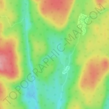
Name: Lac Marsan topographic map, elevation, terrain.
Location: Lac Marsan, Trois-Rives, Mékinac, Mauricie, Québec, Canada (46.97693 -72.76701 46.98245 -72.76166)
Average elevation: 316 m
Minimum elevation: 258 m
Maximum elevation: 384 m
Other topographic maps
Click on a map to view its topography, its elevation and its terrain.
Lac Mékinac
Canada > Québec > Trois-Rives
Lac Mékinac, Chemin du Lac-du-Missionnaire, Trois-Rives, Mékinac, Mauricie, Québec, Canada
Average elevation: 287 m
Lac Cadotte
Canada > Québec > Trois-Rives
Lac Cadotte, Chemin Saint-Joseph, Trois-Rives, Mékinac, Mauricie, Québec, Canada
Average elevation: 212 m
Lac Attraction
Canada > Québec > Trois-Rives
Lac Attraction, Route 155, Trois-Rives, Mékinac, Mauricie, Québec, G0X 2V0, Canada
Average elevation: 321 m
Lac Grosbois
Canada > Québec > Trois-Rives
Lac Grosbois, Chemin du Lac Grosbois, Trois-Rives, Mékinac, Mauricie, Québec, Canada
Average elevation: 234 m