
Paksa topographic map
Interactive map
Click on the map to display elevation.
About this map
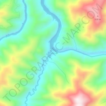
Name: Paksa topographic map, elevation, terrain.
Location: Paksa, Xiengngeun District, Luang Prabang, 06000, Laos (19.65167 102.23353 19.69167 102.27353)
Average elevation: 554 m
Minimum elevation: 323 m
Maximum elevation: 969 m