
El Bolero topographic map
Interactive map
Click on the map to display elevation.
About this map
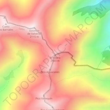
Name: El Bolero topographic map, elevation, terrain.
Location: El Bolero, Cármenes, León, Castilla y León, España (43.03775 -5.64318 43.03785 -5.64308)
Average elevation: 1,790 m
Minimum elevation: 1,259 m
Maximum elevation: 2,109 m