
John F. Kennedy topographic map
Interactive map
Click on the map to display elevation.
About this map
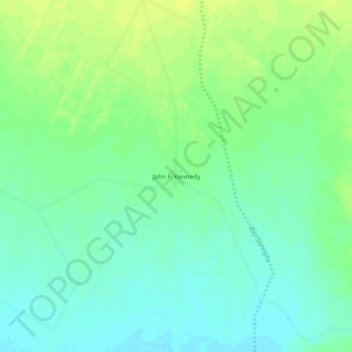
Name: John F. Kennedy topographic map, elevation, terrain.
Location: John F. Kennedy, Puerto Peñasco, Sonora, México (31.56688 -113.32325 31.60688 -113.28325)
Average elevation: 97 m
Minimum elevation: 88 m
Maximum elevation: 106 m