
Maliki topographic map
Interactive map
Click on the map to display elevation.
About this map
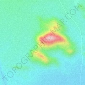
Name: Maliki topographic map, elevation, terrain.
Location: Maliki, Tchirozérine, Agadez Region, Niger (17.59615 8.60225 17.59625 8.60235)
Average elevation: 941 m
Minimum elevation: 881 m
Maximum elevation: 1,149 m
Other topographic maps
Click on a map to view its topography, its elevation and its terrain.