
Belas topographic map
Interactive map
Click on the map to display elevation.
About this map
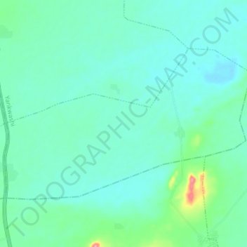
Name: Belas topographic map, elevation, terrain.
Location: Belas, Yankwashi, Jigawa, Nigéria (12.70556 8.40250 12.74556 8.46953)
Average elevation: 455 m
Minimum elevation: 435 m
Maximum elevation: 544 m