
La Fresneda topographic map
Interactive map
Click on the map to display elevation.
About this map
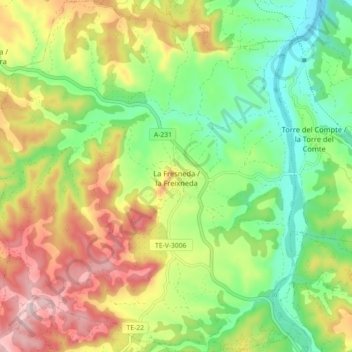
Name: La Fresneda topographic map, elevation, terrain.
Location: La Fresneda, Matarraña, Teruel, Aragón, 44596, España (40.89516 0.02634 40.96279 0.10480)
Average elevation: 530 m
Minimum elevation: 401 m
Maximum elevation: 706 m