
Kangari topographic map
Click on the map to display elevation.
About this map
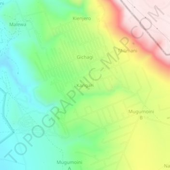
Name: Kangari topographic map, elevation, terrain.
Location: Kangari, Malewa West ward, Gilgil, Nakuru, Rift Valley, Kenya (-0.65445 36.42958 -0.61445 36.46958)
Average elevation: 2,134 m
Minimum elevation: 1,922 m
Maximum elevation: 2,457 m