
Mumbi topographic map
Interactive map
Click on the map to display elevation.
About this map
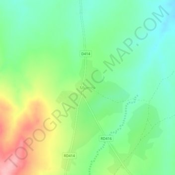
Name: Mumbi topographic map, elevation, terrain.
Location: Mumbi, Petauke District, Eastern Province, Zambia (-14.49544 31.29111 -14.45544 31.33111)
Average elevation: 1,017 m
Minimum elevation: 969 m
Maximum elevation: 1,104 m
Other topographic maps
Click on a map to view its topography, its elevation and its terrain.